


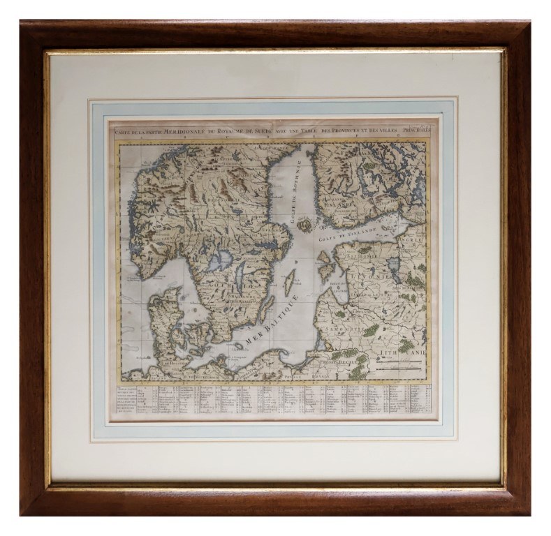
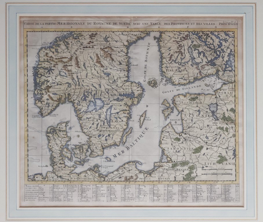
Henri Abraham Chatelain, Carte de la partie méridionale du Royaume de Suède, from the Atlas Historique
Engraving with coeval coloring
40x47 cm, within frame
Not examined outside frame.
Map depicting the southern part of Scandinavia, with explanatory alphabetical table at the bottom. The work comes from the Atlas Historique, ou Nouvelle Introduction à l'Histoire, published in Paris between 1705 and 1720 by the Chatelain family, active as a publishing partnership between Zacharie Chatelain and his sons Henri Abraham and Zacharie junior.











Recentemente visualizados
Efetue login para ver a lista de itens
Preferidos
Efetue login para ver a lista de itens