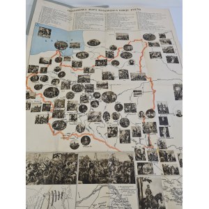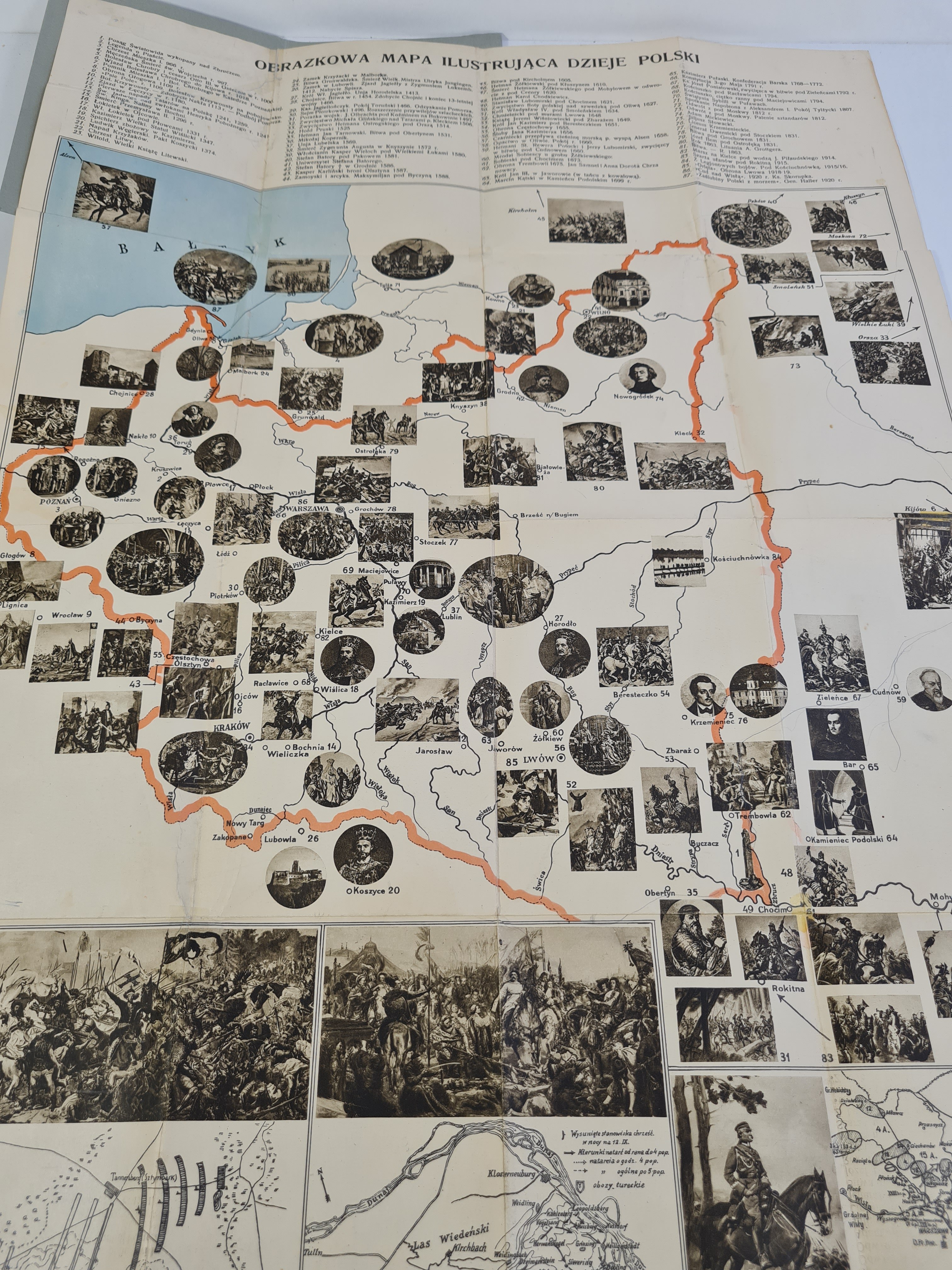
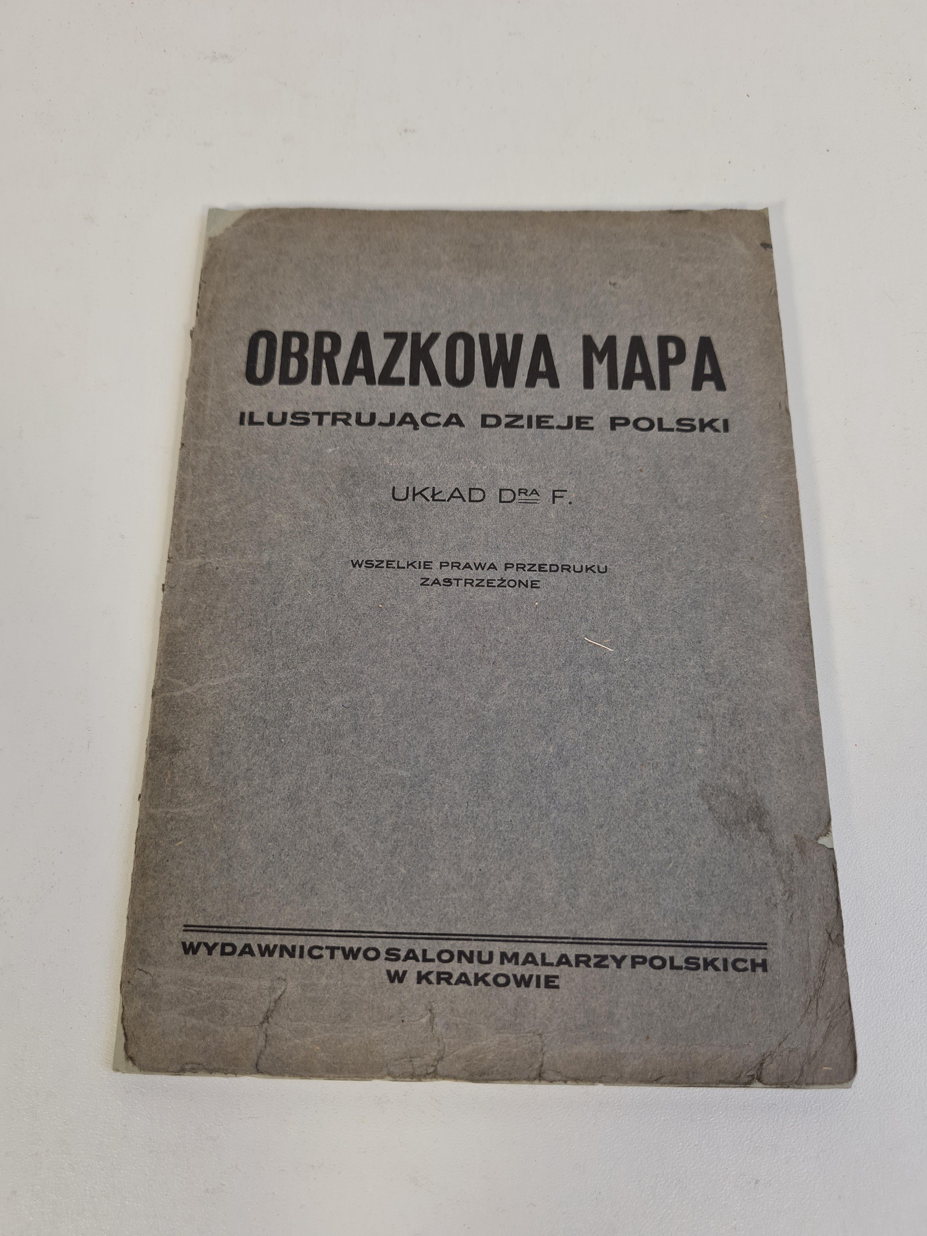
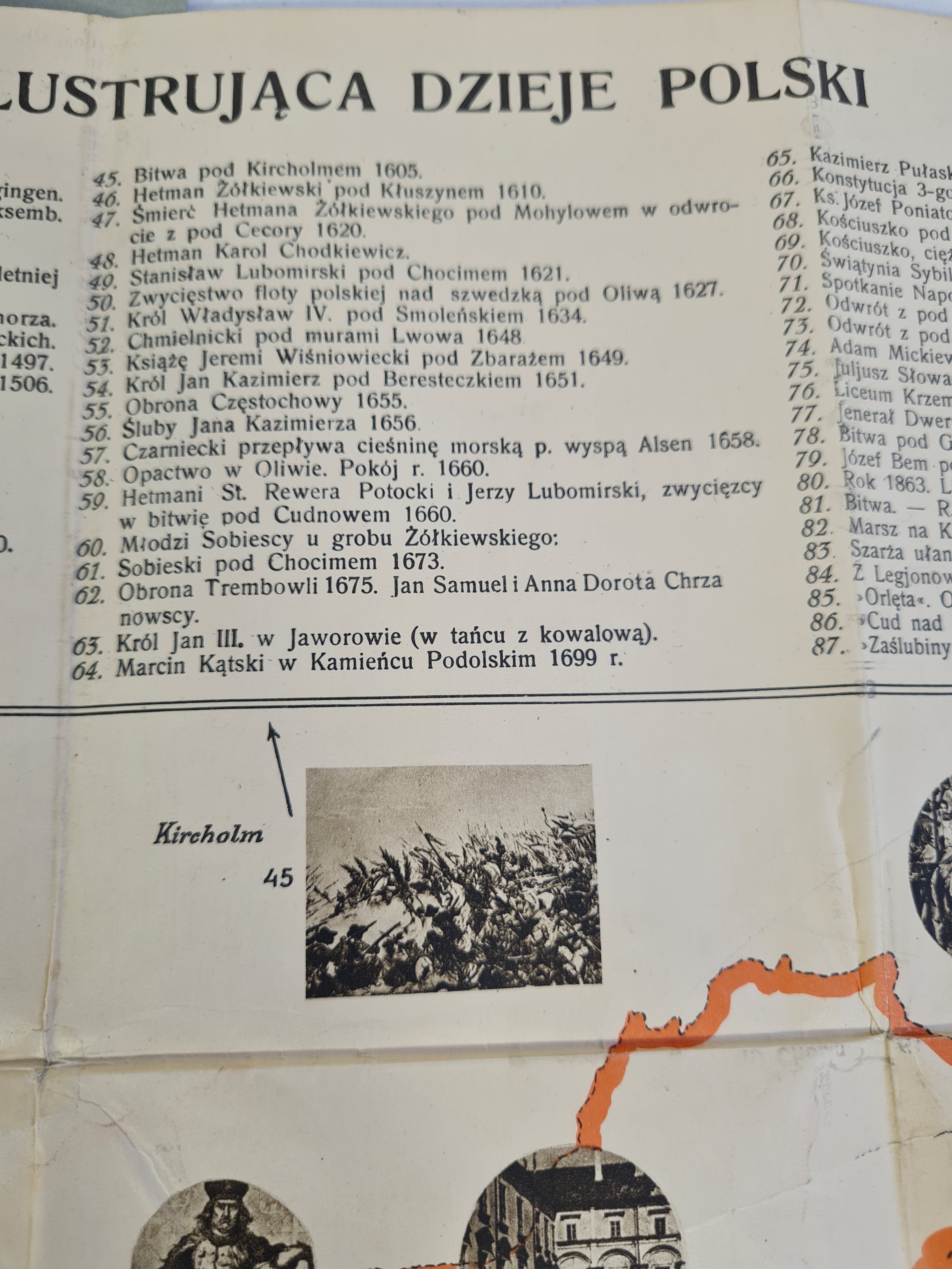
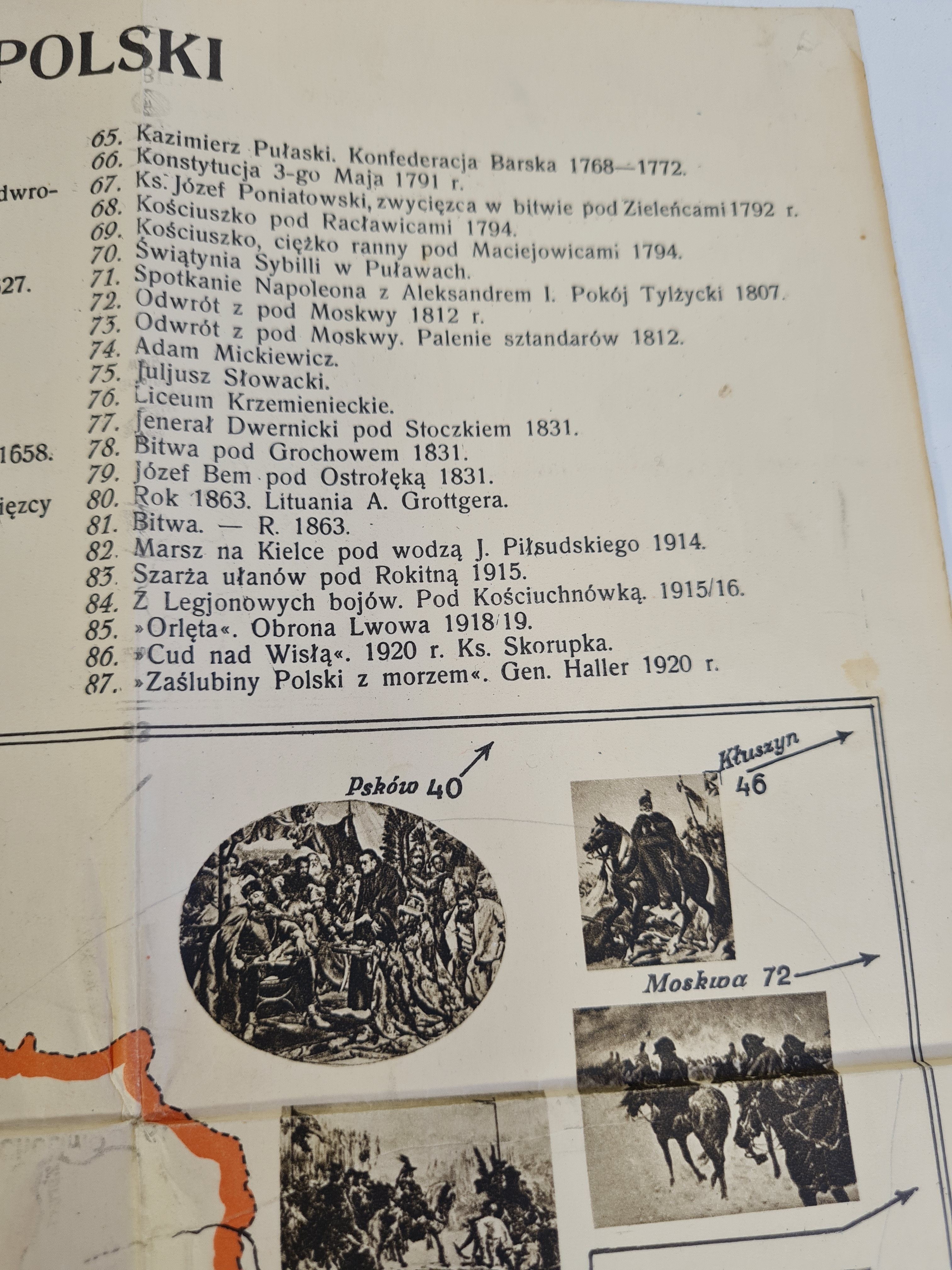
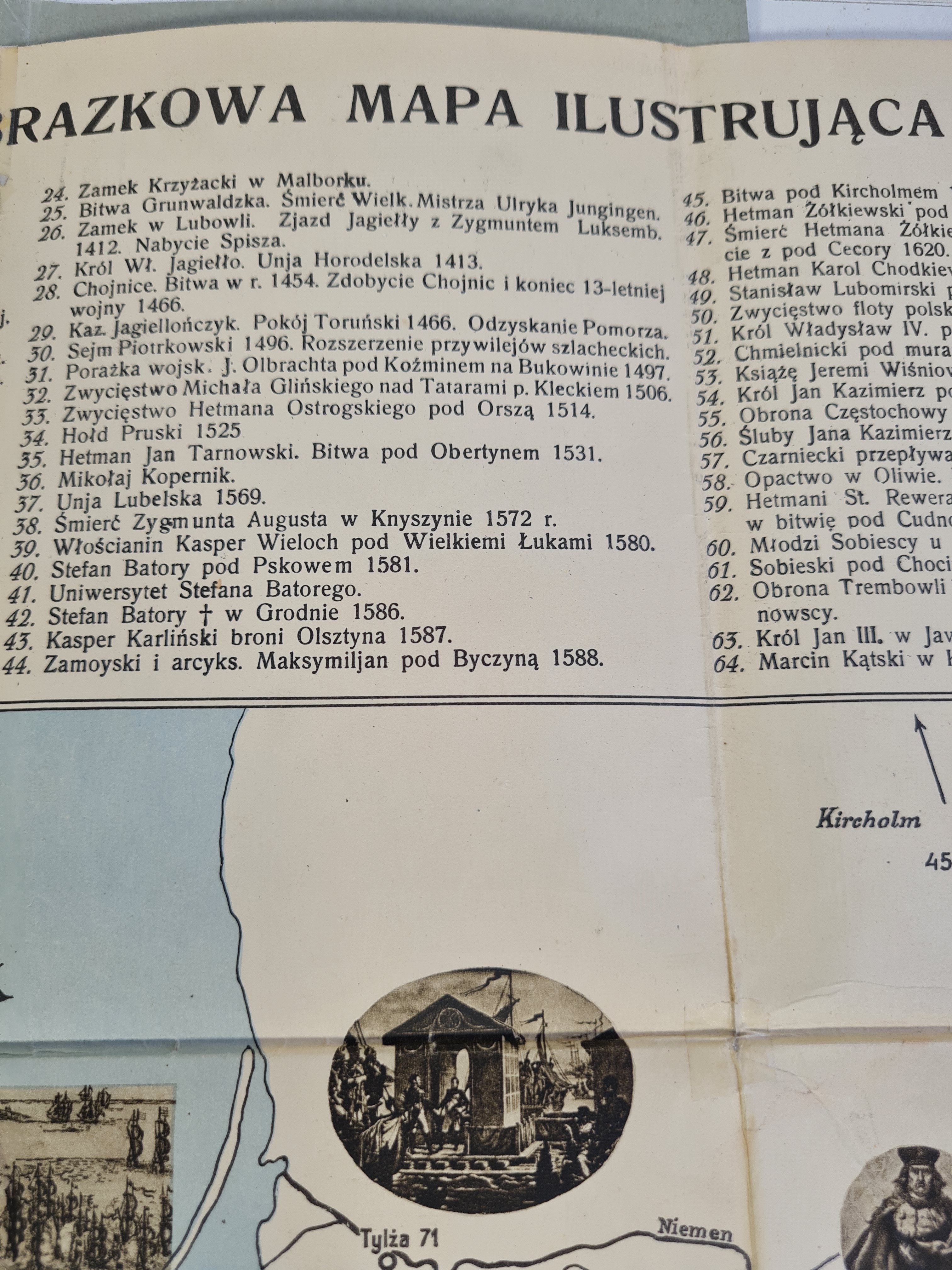
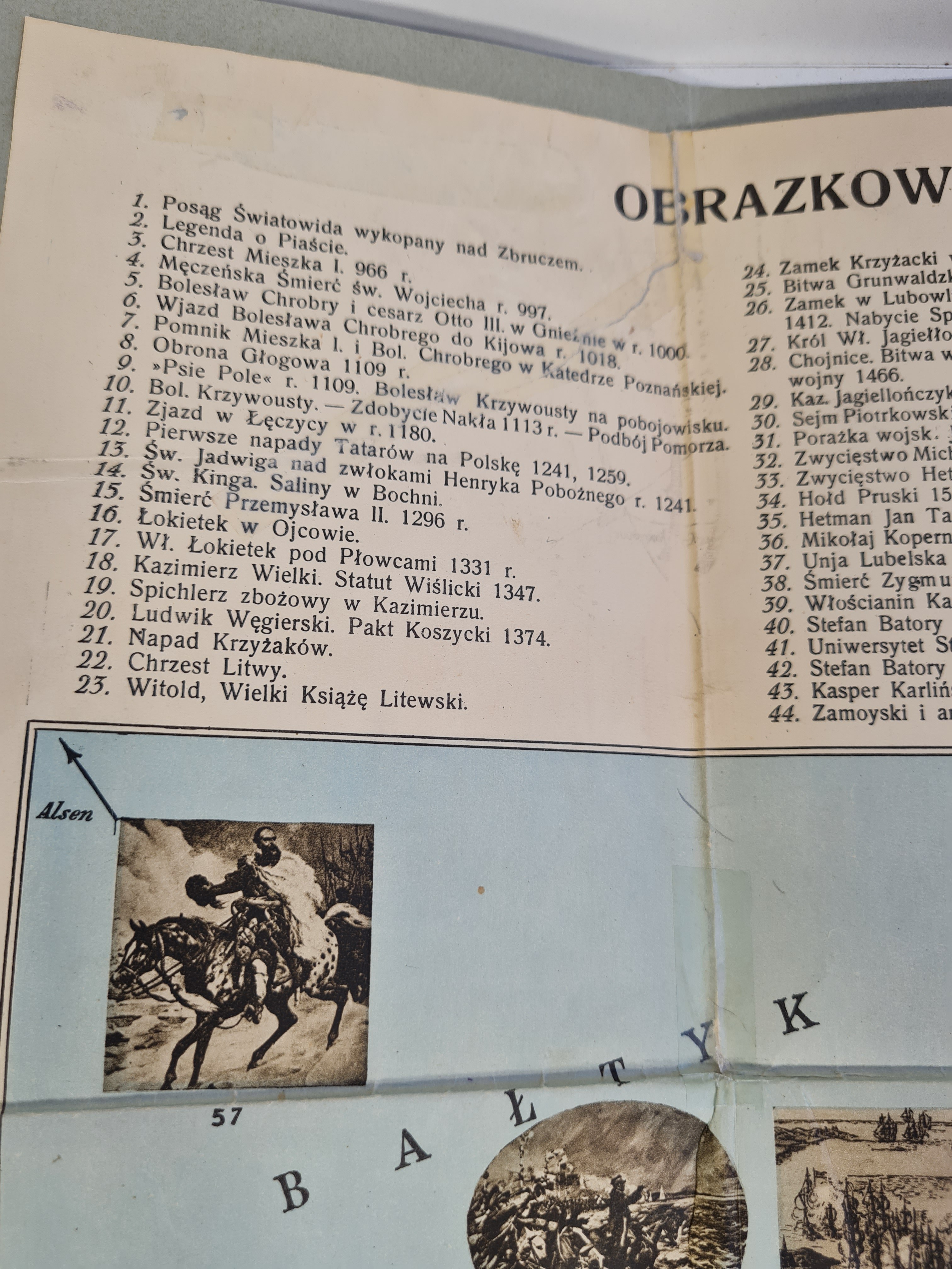
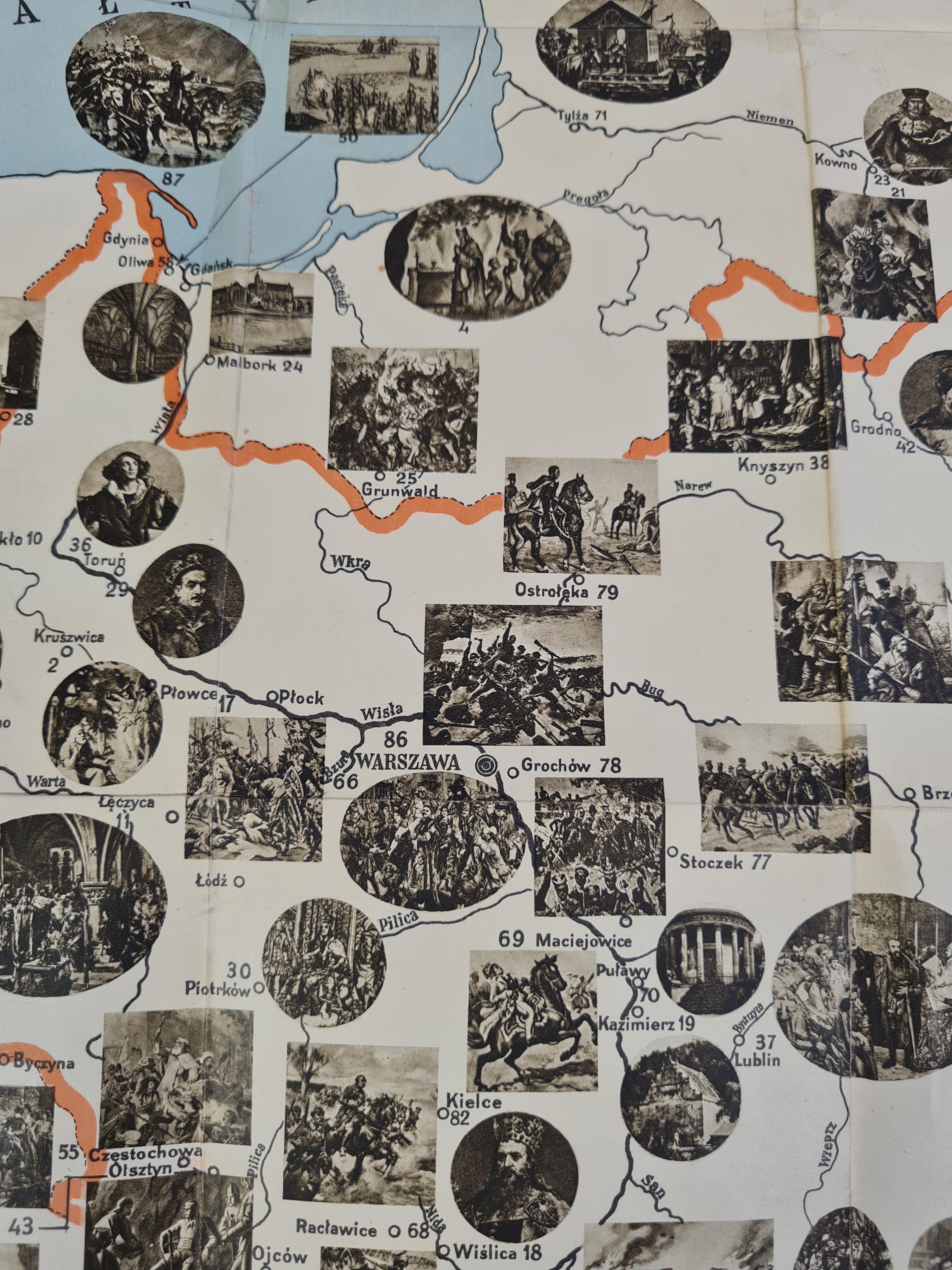
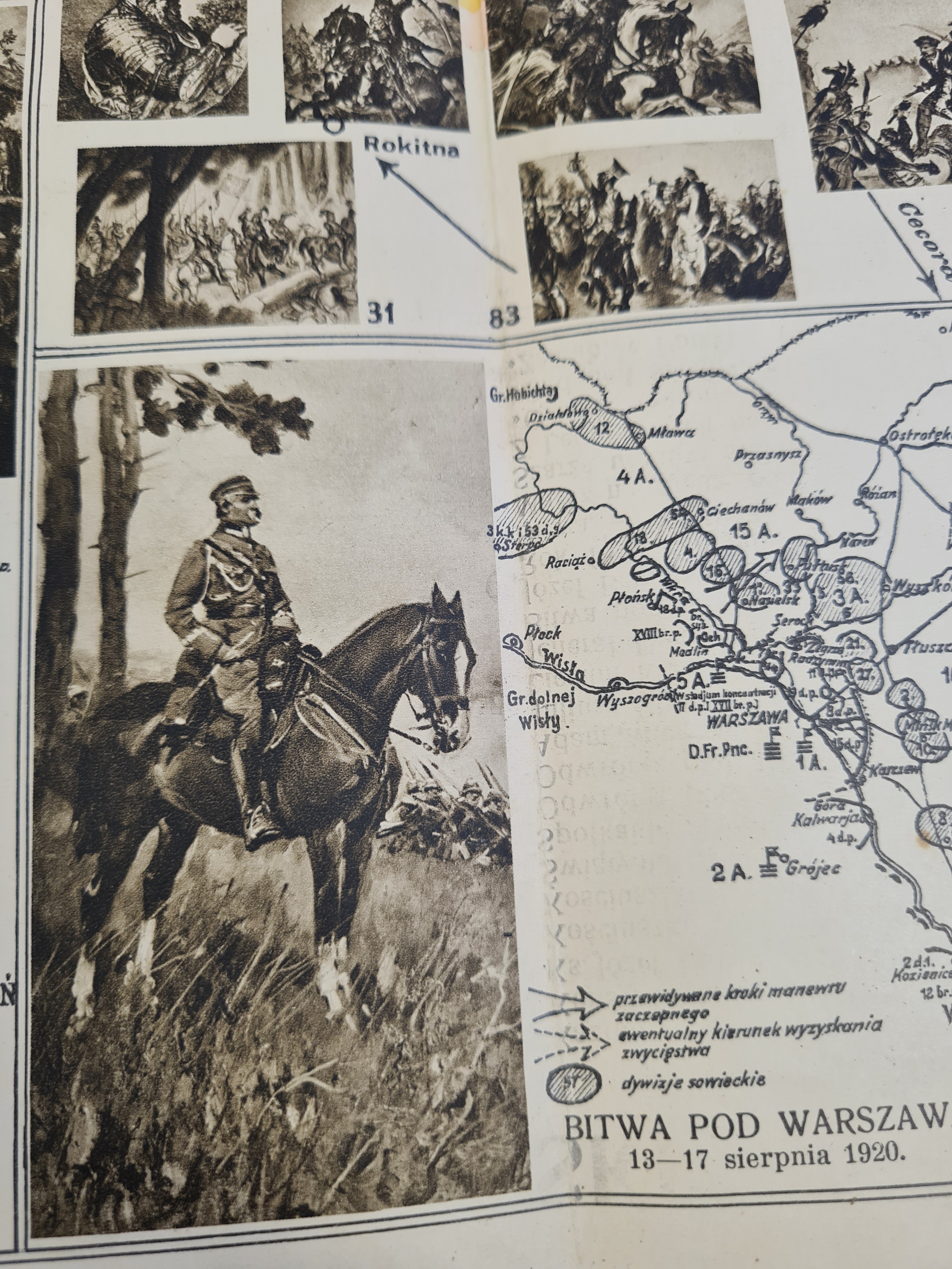
A PICTURAL MAP ILLUSTRATING THE HISTORY OF POLAND
Published by thePolishPainters’ Salon, Kraków (year of publication not specified); Printed by >>AKROPOL<< Printing House, Kraków.
A map of Poland with locations significant in the country’s history marked, e.g., Malbork, Grodno, Vilnius, Lviv, Racławice, and Zbaraż. At the bottom of the map are battle plans (the Battle of Grunwald—1410, the Battle of Vienna—1683, and the Battle of Warsaw—1920) taken from M. Kukiel’s work *An Outline of the History of the Military in Poland*.
Fold-out map measuring 70x48.5 cm; folded dimensions: 19x13.5 cm; softcover—some glue marks, a few minor stains.