


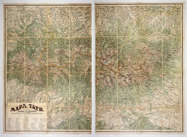
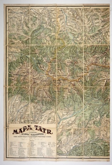
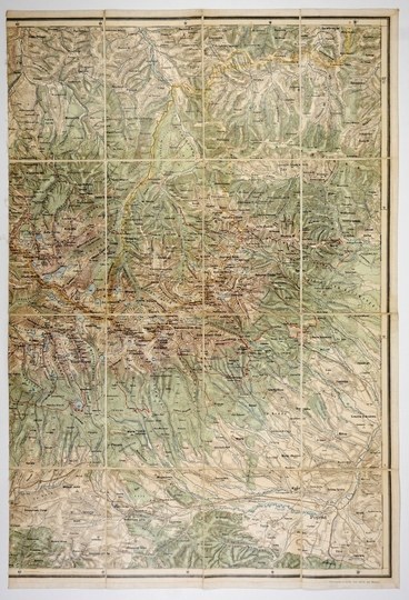
[TATRY]. Map of the Tatra Mountains. Color map on two sheets form. 80.7x55 and 80.7x55.5 cm.
Map of the Tatra Mountains compiled by Adam Tomaszewski, published in Lviv by the Polish Bookstore B. Połoniecki in 1923, printed at the Military Geographical Institute in Vienna. Title, legend and scale (1:50,000) in a frame in the lower left corner. Inside the lower frame, the marking of national borders. Marked Poland's proposed border changes near Jaworzyna and in several other places. The map "was a photographic enlargement of the Austrian special map on a scale of 1:75,000. It had [...] very rich nomenclature, which, especially in the High Tatras, made it difficult to read. This map [...] enjoyed great popularity as the first Polish map of the entire Tatra Mountains" (E. Nowak-Ferdhus "History of Polish Tourist Cartography" in "Z dziejów kartografii", vol. 1, Wr. 1979, s. 103). Each section cut into 16 parts glued together on linen. Good condition.






Recentemente visualizados
Efetue login para ver a lista de itens
Preferidos
Efetue login para ver a lista de itens