


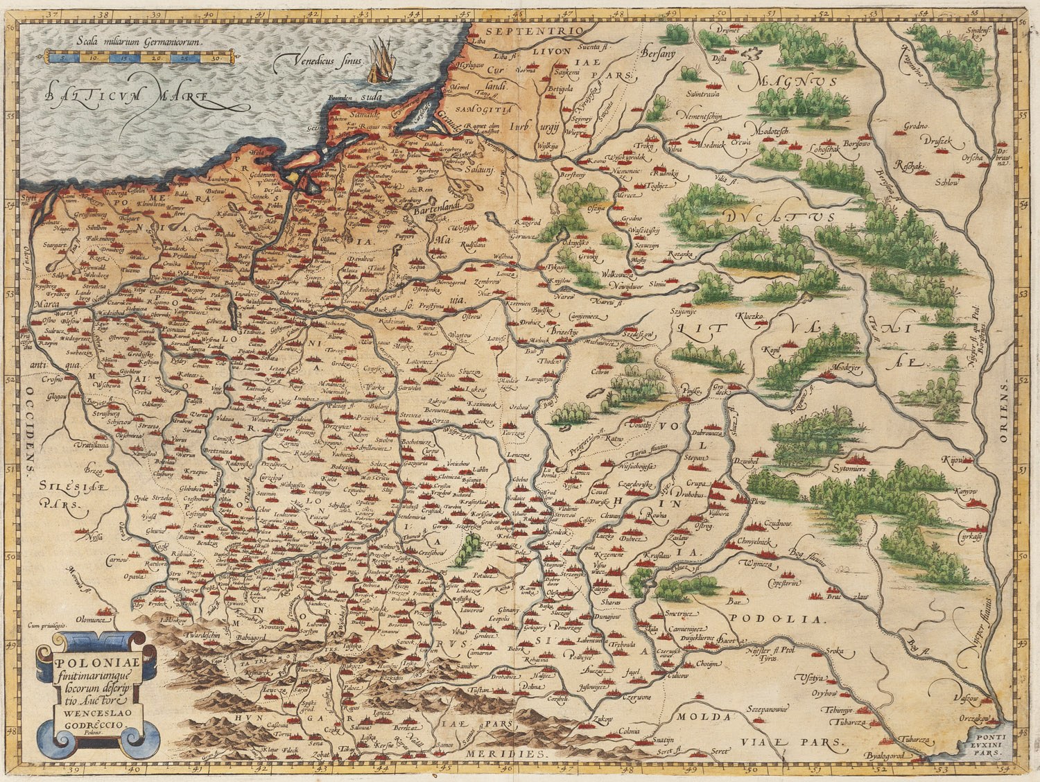
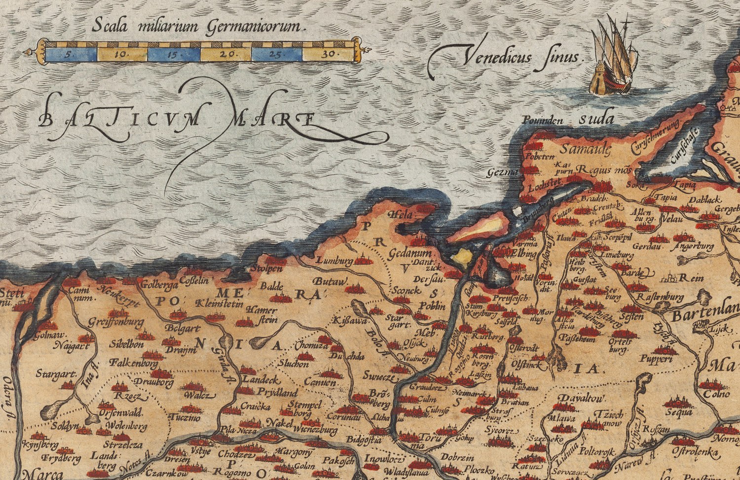
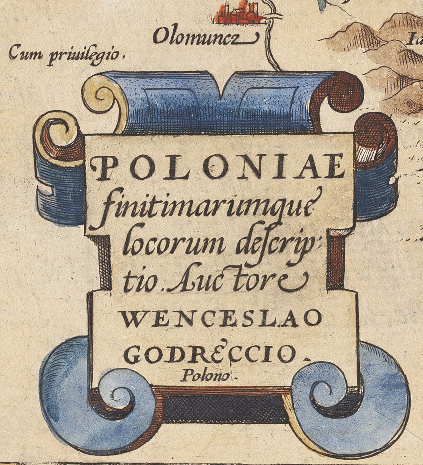
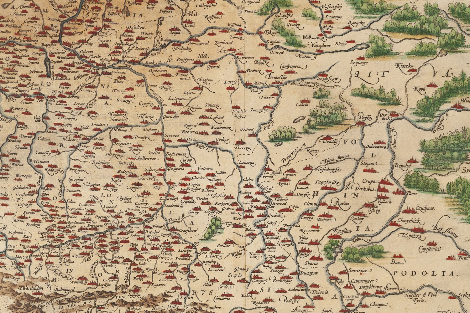
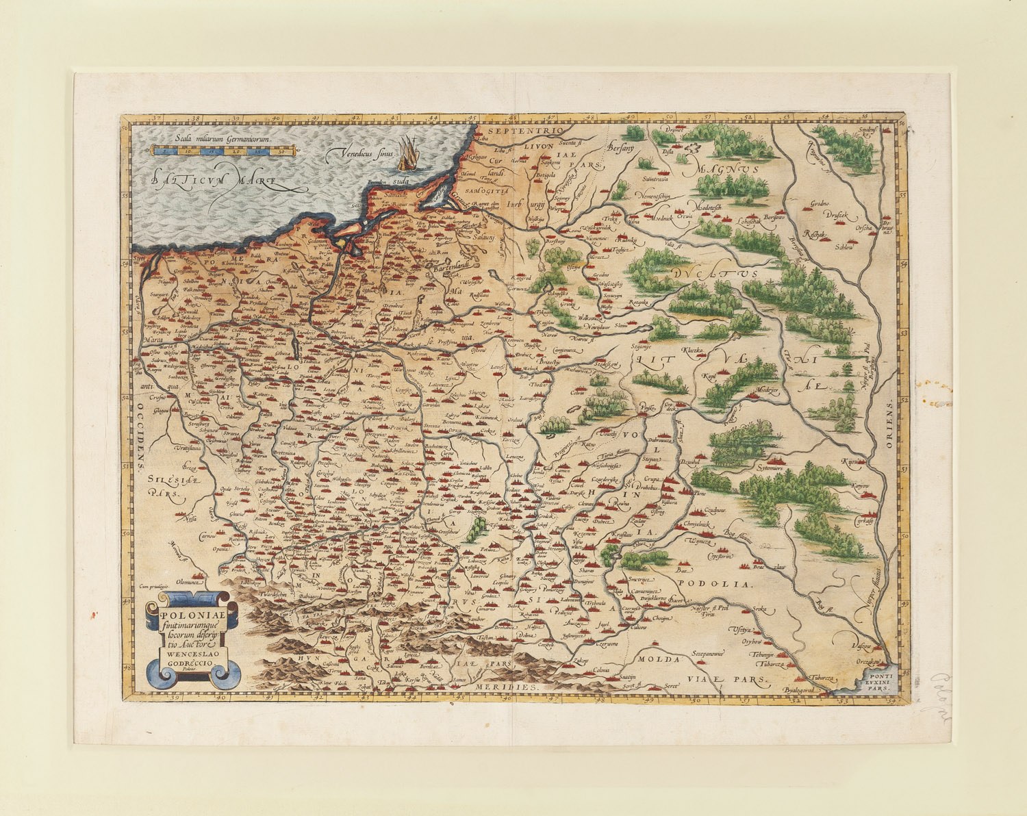
colored copperplate engraving/paper
Dimensions: 42.5 x 55 cm (inside the mat)
One of the most important and sought-after maps in the history of Polish cartography. Compiled by Wacław Grodecki and published by Abraham Ortelius in the famous atlas *Theatrum Orbis Terrarum*.
The map depicts the lands of the Polish-Lithuanian Commonwealth from the Baltic Sea to the Black Sea and serves as a primary source of information on the geography of 16th-century Poland. Its author drew on earlier works by Bernard Wapowski, and the results of Nicolaus Copernicus’s observations were also used to determine the locations of some settlements.
Ortelius’s publication ensured that this image of Poland remained entrenched in European cartography for over a century. It is one of the most important historical artifacts of early Polish cartography.










Recentemente visualizados
Efetue login para ver a lista de itens
Preferidos
Efetue login para ver a lista de itens